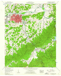
1959 Map of Elizabethton
USGS Topo · Published 1962About this map
The East Tennessee and Western North Carolina Railroad defines the industrial and transit corridor of this region, following the winding path of the Doe River through the heart of Elizabethton. The city itself is a dense network of streets, including Broad St and Elk Street, serving as a hub for local education and administration with landmarks like Duffield Academy and the Post Office. Beyond the urban core, the landscape transitions into the steep ridges of Lynn Mountain and the Cherokee National Forest, where the Appalachian Trail winds toward Watauga Lake.
Find a feature on this map
141 named features on this map. Tap any name to fly to it.
Don’t see what you’re looking for? This feature index may not catch every label — zoom into the map to look around manually.
Map Details
Editions of this 1959 Elizabethton Map
4 editions found
Other maps of this area

1891 · Roan Mountain
USGS Topo · 1:125,000

1894 · Roan Mountain
USGS Topo · 1:125,000

1904 · Roan Mountain
USGS Topo · 1:125,000

1934 · White Rocks Mtn
USGS Topo · 1:24,000

1934 · Iron Mtn Gap
USGS Topo · 1:24,000

1935 · Watauga Valley
USGS Topo · 1:48,000
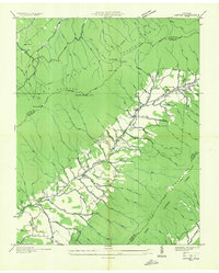
1935 · Carter
USGS Topo · 1:24,000

1935 · Elizabethton
USGS Topo · 1:24,000
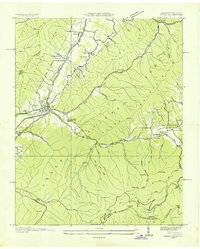
1935 · Unicoi
USGS Topo · 1:24,000
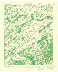
1935 · Bluff City
USGS Topo · 1:24,000