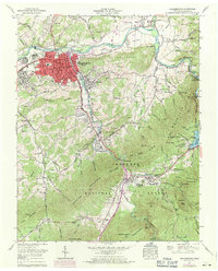
1959 Map of Elizabethton
USGS Topo · Published 1971About this map
Elizabethton sits at the confluence of the Watauga River and Doe River, serving as a central hub for Carter County. This late-1950s record documents the city's infrastructure, from the Duffield Academy and Douglas School to the Sewage disposal plant and Radio tower (WBEJ). The landscape is defined by the steep rises of Lynn Mountain and Jenkins Mountain, where narrow hollows like Hart Hollow and Lickskillet Hollow provided space for small homesteads and family burial grounds such as Vaughn Cemetery and Bradley Cemetery.
Find a feature on this map
106 named features on this map. Tap any name to fly to it.
Don’t see what you’re looking for? This feature index may not catch every label — zoom into the map to look around manually.
Map Details
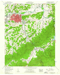
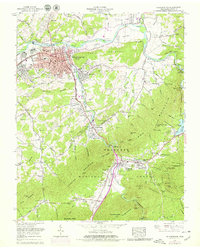
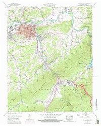
Editions of this 1959 Elizabethton Map
4 editions found
Other maps of this area

1891 · Roan Mountain
USGS Topo · 1:125,000

1894 · Roan Mountain
USGS Topo · 1:125,000

1904 · Roan Mountain
USGS Topo · 1:125,000

1934 · White Rocks Mtn
USGS Topo · 1:24,000

1934 · Iron Mtn Gap
USGS Topo · 1:24,000

1935 · Watauga Valley
USGS Topo · 1:48,000
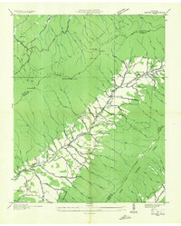
1935 · Carter
USGS Topo · 1:24,000

1935 · Elizabethton
USGS Topo · 1:24,000
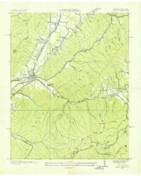
1935 · Unicoi
USGS Topo · 1:24,000
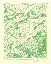
1935 · Bluff City
USGS Topo · 1:24,000