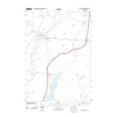
2013 Map of Elizabethtown
USGS Topo · Published 2013About this map
Elizabethtown and the surrounding Adirondack foothills are defined by the winding course of the Boquet River, which travels north through a valley flanked by prominent peaks. The village center is anchored by the Cobble Hill Golf Course and several historical thoroughfares like Old Military Ln and Old Turnpike Rd. To the south, the landscape transitions into more significant elevation around Otis Mtn and Mt Gilligan, eventually opening into the waters of Lincoln Pond and the smaller Little Pond.
Find a feature on this map
68 named features on this map. Tap any name to fly to it.
Don’t see what you’re looking for? This feature index may not catch every label — zoom into the map to look around manually.
Map Details
Editions of this 2013 Elizabethtown Map
This is the sole edition of this map. No revisions or reprints were ever made.
Other maps of this area

1894 · Elizabethtown
USGS Topo · 1:62,500

1894 · Port Henry
USGS Topo · 1:62,500

1895 · Willsboro
USGS Topo · 1:62,500

1895 · Elizabethtown
USGS Topo · 1:62,500

1895 · Ausable
USGS Topo · 1:62,500

1898 · Port Henry
USGS Topo · 1:62,500

1901 · Elizabethtown
USGS Topo · 1:62,500

1903 · Ausable
USGS Topo · 1:62,500

1941 · Willsboro
USGS Topo · 1:62,500

1943 · Willsboro
USGS Topo · 1:62,500