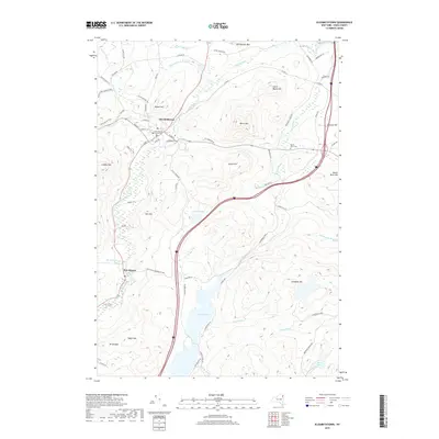
2019 Map of Elizabethtown
USGS Topo · Published 2019About this map
The Essex County Courthouse serves as the focal point for Elizabethtown, a historic mountain community situated along the bends of the Boquet River. This area is defined by its deep incorporation into Adirondack Park, where high peaks and narrow valleys dictate the path of local infrastructure. To the south, the settlement of New Russia sits near the base of Mt Gilligan, while the valley floor is punctuated by water bodies like Lincoln Pond and Little Pond. The map reveals a landscape where historical routes such as the Old Turnpike Rd and Old Military Ln traverse the shadows of prominent summits like Rattlesnake Mtn and Raven Hill. Genealogists may find interest in the Black River Cem, located east of the main town center near the banks of the Black River.
Find a feature on this map
75 named features on this map. Tap any name to fly to it.
Don’t see what you’re looking for? This feature index may not catch every label — zoom into the map to look around manually.
Map Details
Editions of this 2019 Elizabethtown Map
This is the sole edition of this map. No revisions or reprints were ever made.
Other maps of this area

1894 · Elizabethtown
USGS Topo · 1:62,500

1894 · Port Henry
USGS Topo · 1:62,500

1895 · Willsboro
USGS Topo · 1:62,500

1895 · Elizabethtown
USGS Topo · 1:62,500

1895 · Ausable
USGS Topo · 1:62,500

1898 · Port Henry
USGS Topo · 1:62,500

1901 · Elizabethtown
USGS Topo · 1:62,500

1903 · Ausable
USGS Topo · 1:62,500

1941 · Willsboro
USGS Topo · 1:62,500

1943 · Willsboro
USGS Topo · 1:62,500