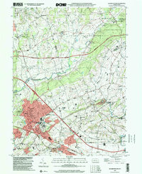
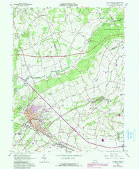
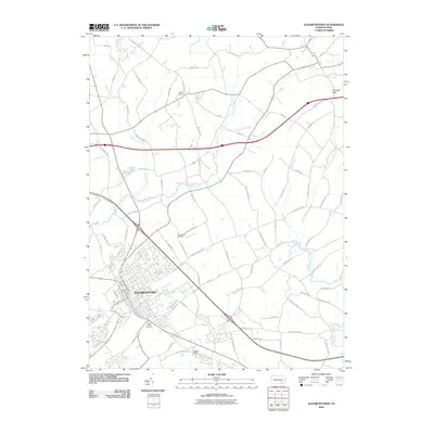
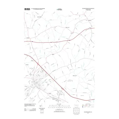
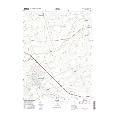
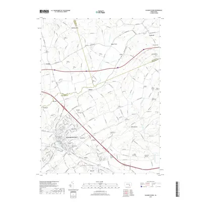
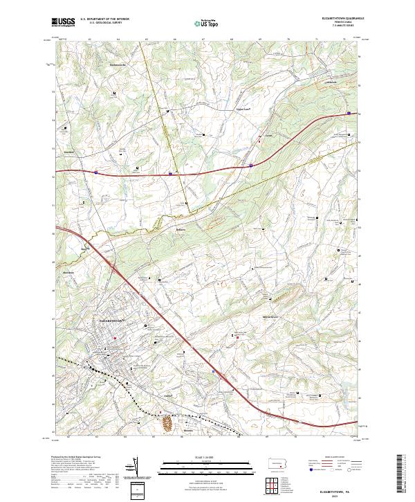
1999 Map of Elizabethtown
USGS Topo · Published 2001About this map
Elizabethtown serves as the primary hub of this 1999 landscape, showing a dense network of residential streets, public institutions, and educational facilities. The map illustrates the town's expansion with Elizabethtown College and the Masonic Sch anchoring the western and southern outskirts, while the Post Office and Library mark the civic center. This survey captures a moment when the rural character of northern Lancaster County met increasing suburbanization, evidenced by the proximity of traditional settlements like Milton Grove and Rheems to major transport corridors such as the Pennsylvania Turnpike.
Find a feature on this map
51 named features on this map. Tap any name to fly to it.
Don’t see what you’re looking for? This feature index may not catch every label — zoom into the map to look around manually.
Map Details
Editions of this 1999 Elizabethtown Map
This is the sole edition of this map. No revisions or reprints were ever made.
Historical Maps of Elizabethtown Through Time
7 maps found
Featured Locations
- Elizabethtown, PA
- Mount Joy Township, PA
- Rapho Township, PA
- Conewago Township, PA
- Bachmanville, Conewago Township