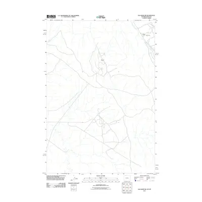
2011 Map of Elk Basin NW
USGS Topo · Published 2011About this map
Silver Tip Oil Field and the adjacent Elk Basin Oil Field dominate this 2011 survey of the arid borderlands between Park County, Wyoming, and Carbon County, Montana. The landscape is defined by the industrial footprint of energy extraction, where a complex network of service roads like Ng Rd and Road Ing crisscross the terrain to support mining and drilling operations. Beyond the petroleum infrastructure, the Oldham Mine sits in the northeastern corner of the quadrangle near the drainage of Silver Tip Creek. This 2011 edition captures the modern distribution of these resources, showing how petroleum development has shaped the road networks and land use patterns in this high-altitude basin during the early 21st century.
Find a feature on this map
6 named features on this map. Tap any name to fly to it.
Don’t see what you’re looking for? This feature index may not catch every label — zoom into the map to look around manually.
Map Details
Editions of this 2011 Elk Basin NW Map
This is the sole edition of this map. No revisions or reprints were ever made.
Other maps of this area

1944 · Red Lodge
USGS Topo · 1:62,500

1950 · Clark
USGS Topo · 1:62,500

1954 · Billings
USGS Topo · 1:250,000

1955 · Cody
USGS Topo · 1:250,000

1957 · Billings
USGS Topo · 1:250,000

1958 · Billings
USGS Topo · 1:250,000

1958 · Cody
USGS Topo · 1:250,000

1962 · Cody
USGS Topo · 1:250,000

1966 · Elk Basin SW
USGS Topo · 1:24,000

1966 · Elk Basin
USGS Topo · 1:24,000