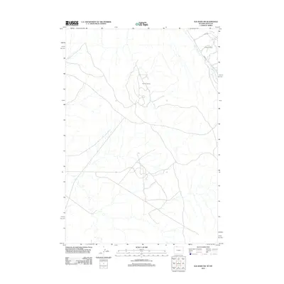
2012 Map of Elk Basin NW
USGS Topo · Published 2012About this map
Industrial energy production dominates this 2012 landscape in Park County, Wyoming. The terrain is marked by the extensive infrastructure of the Elk Basin Oil Field and the neighboring Silver Tip Oil Field, where a network of access roads and pads reveals the intensity of regional extraction efforts. Along the northern border, Silver Tip Cr winds through the drainage basins, providing a natural contrast to the grid-like development of the petroleum fields. Local transit is facilitated by routes such as Road 1ng and Ing Rd, which serve as the primary conduits for equipment and personnel moving across this high-plains energy corridor.
Find a feature on this map
5 named features on this map. Tap any name to fly to it.
Don’t see what you’re looking for? This feature index may not catch every label — zoom into the map to look around manually.
Map Details
Editions of this 2012 Elk Basin NW Map
This is the sole edition of this map. No revisions or reprints were ever made.
Other maps of this area

1944 · Red Lodge
USGS Topo · 1:62,500

1950 · Clark
USGS Topo · 1:62,500

1954 · Billings
USGS Topo · 1:250,000

1955 · Cody
USGS Topo · 1:250,000

1957 · Billings
USGS Topo · 1:250,000

1958 · Billings
USGS Topo · 1:250,000

1958 · Cody
USGS Topo · 1:250,000

1962 · Cody
USGS Topo · 1:250,000

1966 · Elk Basin SW
USGS Topo · 1:24,000

1966 · Elk Basin
USGS Topo · 1:24,000