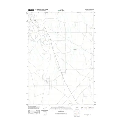
2012 Map of Elk Basin
USGS Topo · Published 2012About this map
Elk Basin Oil Field and the South Elk Basin Oil Field dominate this landscape on the Wyoming-Montana border, illustrating the intensive industrial footprint of energy extraction in the early 21st century. The map reveals an intricate network of service roads, including Long Draw Rd and 1XG Rd, which carve through the arid terrain of the Bighorn Basin.
Find a feature on this map
12 named features on this map. Tap any name to fly to it.
Don’t see what you’re looking for? This feature index may not catch every label — zoom into the map to look around manually.
Map Details
Editions of this 2012 Elk Basin Map
This is the sole edition of this map. No revisions or reprints were ever made.
Other maps of this area

1954 · Billings
USGS Topo · 1:250,000

1955 · Cody
USGS Topo · 1:250,000

1957 · Billings
USGS Topo · 1:250,000

1958 · Billings
USGS Topo · 1:250,000

1958 · Cody
USGS Topo · 1:250,000

1962 · Cody
USGS Topo · 1:250,000

1966 · Elk Basin SW
USGS Topo · 1:24,000

1966 · Garland
USGS Topo · 1:24,000

1966 · Elk Basin
USGS Topo · 1:24,000

1966 · Elk Basin NW
USGS Topo · 1:24,000