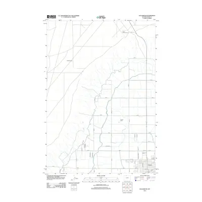
2012 Map of Elk Basin SE
USGS Topo · Published 2012About this map
Powell serves as the central hub for this high-desert agricultural region, where the grid-like organization of the Big Horn Basin is clearly visible. The landscape is defined by the sharp contrast between the elevated Polecat Bench to the northwest and the fertile Powell Flats below. This transition marks the boundary between arid rangeland and the productive irrigation district that sustains the local economy. Water management is the dominant geographic feature, with the Frannie Canal and its numerous branches, such as Lateral A, Lateral B, and Lateral C, snaking across the terrain to feed the surrounding farms.
Find a feature on this map
49 named features on this map. Tap any name to fly to it.
Don’t see what you’re looking for? This feature index may not catch every label — zoom into the map to look around manually.
Map Details
Editions of this 2012 Elk Basin SE Map
This is the sole edition of this map. No revisions or reprints were ever made.
Other maps of this area

1955 · Cody
USGS Topo · 1:250,000

1958 · Cody
USGS Topo · 1:250,000

1962 · Cody
USGS Topo · 1:250,000

1966 · Elk Basin SW
USGS Topo · 1:24,000

1966 · Garland
USGS Topo · 1:24,000

1966 · Elk Basin
USGS Topo · 1:24,000

1966 · Elk Basin NW
USGS Topo · 1:24,000

1966 · Deaver Reservoir
USGS Topo · 1:24,000

1966 · Elk Basin SE
USGS Topo · 1:24,000

1966 · Gilmore Hill NW
USGS Topo · 1:24,000