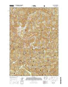
2014 Map of Elk City
USGS Topo · Published 2014About this map
Big Elk Cr winds through the heart of this Lincoln County landscape, defining the topography of the central Oregon Coast Range. The settlement of Elk City marks a historic point of human activity near the confluence of Dixon Cr and the main creek. Steep ridges and high points characterize the region, including Palmer Mtn, Baber Butte, and the Mill Creek Divide. Much of the southern and eastern territory is protected within the Siuslaw National Forest, where a network of forest roads such as Harlan Rd and Gated Log Rd provides access through the heavy timber. Genealogists may find interest in the Glenwood Cem, located on a bend of Drift Cr. The map details a complex drainage system, with numerous named waterways like Gopher Cr and Jackass Cr carving deep valleys between prominent landforms like Cape Horn Ridge.
Find a feature on this map
46 named features on this map. Tap any name to fly to it.
Don’t see what you’re looking for? This feature index may not catch every label — zoom into the map to look around manually.
Map Details
Editions of this 2014 Elk City Map
This is the sole edition of this map. No revisions or reprints were ever made.
Other maps of this area

1939 · Marys Peak
USGS Topo · 1:62,500

1942 · Marys Peak
USGS Topo · 1:62,500

1942 · Alsea
USGS Topo · 1:62,500

1942 · Tidewater
USGS Topo · 1:62,500

1942 · Toledo
USGS Topo · 1:62,500

1953 · Salem
USGS Topo · 1:250,000

1954 · Salem
USGS Topo · 1:250,000

1956 · Alsea
USGS Topo · 1:62,500

1956 · Tidewater
USGS Topo · 1:62,500

1957 · Marys Peak
USGS Topo · 1:62,500