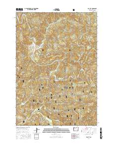
2017 Map of Elk City
USGS Topo · Published 2017About this map
Big Elk Creek winds through the heart of this coastal range landscape, defining the topography of a region dominated by the Siuslaw National Forest. At the confluence of Harlan Cr and Big Elk Creek, the small settlement of Elk City serves as a focal point for the surrounding network of timber and forest service roads. The map reveals a complex system of ridges and summits, including Palmer Mtn, Baber Butte, and Cape Horn Ridge, which separate numerous drainage basins like Drift Cr and Beaver Cr.
Find a feature on this map
54 named features on this map. Tap any name to fly to it.
Don’t see what you’re looking for? This feature index may not catch every label — zoom into the map to look around manually.
Map Details
Editions of this 2017 Elk City Map
This is the sole edition of this map. No revisions or reprints were ever made.
Other maps of this area

1939 · Marys Peak
USGS Topo · 1:62,500

1942 · Marys Peak
USGS Topo · 1:62,500

1942 · Alsea
USGS Topo · 1:62,500

1942 · Tidewater
USGS Topo · 1:62,500

1942 · Toledo
USGS Topo · 1:62,500

1953 · Salem
USGS Topo · 1:250,000

1954 · Salem
USGS Topo · 1:250,000

1956 · Alsea
USGS Topo · 1:62,500

1956 · Tidewater
USGS Topo · 1:62,500

1957 · Marys Peak
USGS Topo · 1:62,500