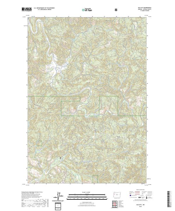
2023 Map of Elk City
USGS Topo · Published 2023About this map
Siuslaw National Forest encompasses the southern half of this Lincoln County landscape, where the terrain is defined by a series of prominent rises including Errot Ridge, Gopher Ridge, and the notable Mill Creek Divide. The winding course of Big Elk Creek serves as a primary drainage for the area, joined by numerous tributaries such as Bear Creek and Deer Creek. Settlement traces are sparse in this heavily forested timber country, though the Glenwood Cem remains a significant point of interest for local historians and genealogists.
Find a feature on this map
41 named features on this map. Tap any name to fly to it.
Don’t see what you’re looking for? This feature index may not catch every label — zoom into the map to look around manually.
Map Details
Editions of this 2023 Elk City Map
This is the sole edition of this map. No revisions or reprints were ever made.
Other maps of this area

1939 · Marys Peak
USGS Topo · 1:62,500

1942 · Marys Peak
USGS Topo · 1:62,500

1942 · Alsea
USGS Topo · 1:62,500

1942 · Tidewater
USGS Topo · 1:62,500

1942 · Toledo
USGS Topo · 1:62,500

1953 · Salem
USGS Topo · 1:250,000

1954 · Salem
USGS Topo · 1:250,000

1956 · Alsea
USGS Topo · 1:62,500

1956 · Tidewater
USGS Topo · 1:62,500

1957 · Marys Peak
USGS Topo · 1:62,500