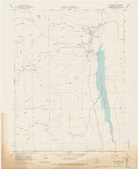
1968 Map of Elk Creek
USGS Topo · Published 1969About this map
The community of Elk Creek serves as a focal point in this 1968 landscape, situated near the northern reach of the Stony Gorge Reservoir. This survey by the Geological Survey and the California Department of Water Resources documents the critical water infrastructure of Glenn County, specifically the Stony Gorge Dam and the Gaging Station that manage the flow of Stony Creek. The terrain is defined by the eastern edge of the Mendocino National Forest, where steep ridges like Gravelly Ridge and McGill Ridge overlook complex drainage systems including Briscoe Creek and Green Valley Creek. Private landholdings and resource management are evident through the Diamond M Ranch and the presence of a Fire Control Station and Lookout point. The map also records early secondary transportation routes such as the Ivory Mill Road and the Bowman Jeep Trail, reflecting the area's history of ranching and timber access.
Find a feature on this map
32 named features on this map. Tap any name to fly to it.
Don’t see what you’re looking for? This feature index may not catch every label — zoom into the map to look around manually.
Map Details
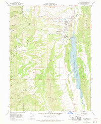
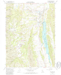
Editions of this 1968 Elk Creek Map
3 editions found
Other maps of this area

1919 · Fruto
USGS Topo · 1:62,500

1919 · Elk Creek
USGS Topo · 1:62,500

1943 · Lodoga
USGS Topo · 1:62,500

1944 · Fruto
USGS Topo · 1:62,500

1948 · Elk Creek
USGS Topo · 1:62,500

1951 · Stonyford
USGS Topo · 1:62,500

1957 · Elk Creek
USGS Topo · 1:62,500

1957 · Ukiah
USGS Topo · 1:250,000
1958 · Fruto
USGS Topo · 1:62,500

1960 · Ukiah
USGS Topo · 1:250,000