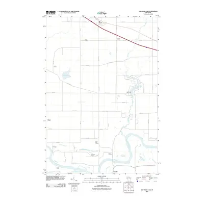
2010 Map of Elk Creek Lake
USGS Topo · Published 2010About this map
Chippewa River meanders through the southern portion of this landscape, carving a wide valley floor defined by the Chippewa Bottoms and Brush Island. The northern reach is anchored by the village of Elk Mound, while the small settlement of Caryville sits near the river's edge. Water is a defining element throughout, from the impounded Elk Creek Lake created by the Elk Creek WP247 Dam to smaller bodies like Old Elk Lake and Sneen Lake. Genealogists will find a notable density of rural burial grounds, including Saint Joseph Cemetery, Evergreen Cemetery, and Waneka Cemetery, marking the locations of earlier community centers. The network of county highways and local roads provides a clear view of how land ownership and access were structured around the prominent Elk Creek drainage system in the early 21st century.
Find a feature on this map
59 named features on this map. Tap any name to fly to it.
Don’t see what you’re looking for? This feature index may not catch every label — zoom into the map to look around manually.
Map Details
Editions of this 2010 Elk Creek Lake Map
This is the sole edition of this map. No revisions or reprints were ever made.
Other maps of this area

1929 · Durand
USGS Topo · 1:62,500

1932 · Durand
USGS Topo · 1:62,500

1932 · Mondovi
USGS Topo · 1:62,500

1934 · Elk Mound
USGS Topo · 1:62,500

1936 · Elk Mound
USGS Topo · 1:62,500

1940 · Menomonie
USGS Topo · 1:62,500

1942 · Menomonie
USGS Topo · 1:62,500

1953 · Eau Claire
USGS Topo · 1:250,000

1958 · Eau Claire
USGS Topo · 1:250,000

1964 · Eau Claire
USGS Topo · 1:250,000