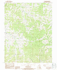
1987 Map of Elk Creek
USGS Topo · Published 1987About this map
The Ozark plateau of Texas County comes into focus through this 1980s-era topographical record, showing a landscape defined by deep-cut creek valleys and dispersed rural settlements. Small hamlets like Solo and Elk Creek anchor the western reaches of the quadrangle, while Tyrone and Grogan mark the eastern and southeastern corners. The drainage pattern is particularly intricate, with Hog Creek and Little Hog Creek flowing through the north, while the headwaters of the North Prong Jacks Fork begin their southern descent.
Find a feature on this map
20 named features on this map. Tap any name to fly to it.
Don’t see what you’re looking for? This feature index may not catch every label — zoom into the map to look around manually.
Map Details
Editions of this 1987 Elk Creek Map
2 editions found
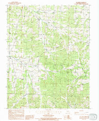
Other maps of this area

1941 · Bado
USGS Topo · 1:62,500

1943 · Bado
USGS Topo · 1:62,500

1945 · Clear Springs
USGS Topo · 1:62,500

1948 · Clear Springs
USGS Topo · 1:62,500

1949 · Rolla
USGS Topo · 1:250,000

1951 · Raymondville
USGS Topo · 1:24,000

1951 · Cabool SE
USGS Topo · 1:24,000

1951 · Houston
USGS Topo · 1:24,000

1951 · Cabool NE
USGS Topo · 1:24,000

1951 · Cabool
USGS Topo · 1:62,500