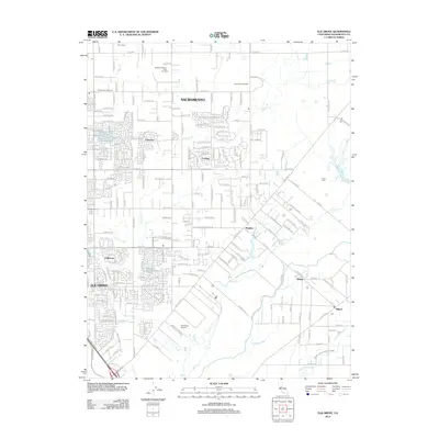
2012 Map of Elk Grove
USGS Topo · Published 2012About this map
Elk Grove and its surrounding communities are documented here during a period of significant suburban integration and residential expansion. The map illustrates a landscape where established unincorporated settlements like Sheldon and Wilton maintain their distinct identities even as residential subdivisions like Fallbrook and Vineyard proliferate. The drainage of Deer Cr and the Cosumnes River defines the southeastern geography, contrasting with the structured grid of the northern sections near the Sacramento city limits.
Find a feature on this map
194 named features on this map. Tap any name to fly to it.
Don’t see what you’re looking for? This feature index may not catch every label — zoom into the map to look around manually.
Map Details
Editions of this 2012 Elk Grove Map
This is the sole edition of this map. No revisions or reprints were ever made.
Other maps of this area

1891 · Sacramento
USGS Topo · 1:125,000

1892 · Sacramento
USGS Topo · 1:125,000

1893 · Sacramento
USGS Topo · 1:125,000

1894 · Lodi
USGS Topo · 1:125,000

1902 · Fairoaks
USGS Topo · 1:62,500

1908 · Buffalo Creek
USGS Topo · 1:31,680

1909 · Elk Grove
USGS Topo · 1:31,680

1909 · Clay
USGS Topo · 1:31,680

1909 · Cosumnes
USGS Topo · 1:31,680

1909 · Florin
USGS Topo · 1:31,680