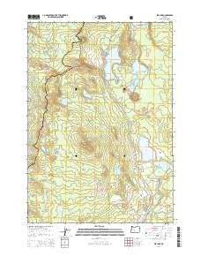
2014 Map of Elk Lake
USGS Topo · Published 2014About this map
Elk Lake and the volcanic landscape of the Cascade Range define this high-country intersection of Lane and Deschutes counties. The area serves as a primary recreational hub within the Deschutes National Forest and Willamette National Forest, where hikers follow the Pacific Crest National Scenic Trail as it skirts around Elk Mtn and Williamson Mtn. The hydrology of the region is notably complex, with the headwaters of the Deschutes River emerging from Little Lava Lake while the Cultus River flows through the southern reaches. Numerous smaller water bodies like Doris Lake, Senoj Lake, and Lucky Lake are scattered among geographic landmarks such as Moolack Butte and Red Crater. The Cascade Lakes HWY provides the primary corridor through this alpine environment, connecting seasonal grazing areas at Quinn Meadows and Island Meadow with the surrounding mountain peaks.
Find a feature on this map
44 named features on this map. Tap any name to fly to it.
Don’t see what you’re looking for? This feature index may not catch every label — zoom into the map to look around manually.
Map Details
Editions of this 2014 Elk Lake Map
This is the sole edition of this map. No revisions or reprints were ever made.
Other maps of this area
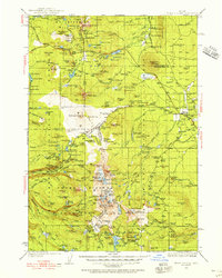
1929 · Three Sisters
USGS Topo · 1:125,000
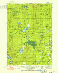
1930 · Maiden Peak
USGS Topo · 1:125,000
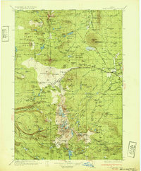
1932 · Three Sisters
USGS Topo · 1:125,000
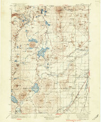
1934 · Maiden Peak
USGS Topo · 1:125,000

1955 · Crescent
USGS Topo · 1:250,000

1955 · Bend
USGS Topo · 1:250,000

1957 · Crescent
USGS Topo · 1:250,000

1957 · Bend
USGS Topo · 1:250,000

1958 · Crescent
USGS Topo · 1:250,000
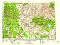
1958 · Bend
USGS Topo · 1:250,000