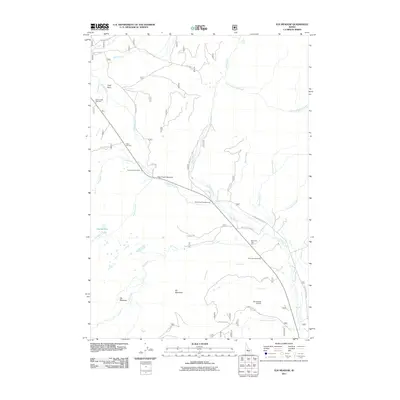
2011 Map of Elk Meadow
USGS Topo · Published 2011About this map
Valley Creek and its many tributaries, including East Fork Valley Creek and Meadow Creek, define this central Idaho drainage basin. The landscape is marked by high-altitude features such as Elk Mountain and the expansive Elk Meadow, which provide a clear picture of the region's natural character. Transportation and recreational corridors follow the water, with the Sheep Trail Campground and several roadside stopping points like the Trap Creek Rest Area and Park Creek Overlook situated along the primary routes. The presence of the Silva Ranch Airport near Stanley Lake Rd suggests the importance of aerial access in this high mountain environment. From the tight passage at Trap Creek Narrows to the secluded Hidden Lake, the map documents a terrain where drainage patterns and forest service roads like Cape Horn Rd dictate human movement and settlement patterns.
Find a feature on this map
36 named features on this map. Tap any name to fly to it.
Don’t see what you’re looking for? This feature index may not catch every label — zoom into the map to look around manually.
Map Details
Editions of this 2011 Elk Meadow Map
This is the sole edition of this map. No revisions or reprints were ever made.
Other maps of this area
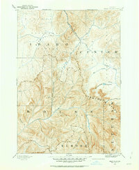
1891 · Bear Valley
USGS Topo · 1:125,000
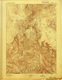
1893 · Bear Valley
USGS Topo · 1:125,000
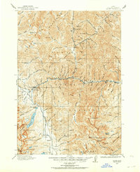
1919 · Custer
USGS Topo · 1:125,000
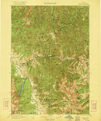
1922 · Custer
USGS Topo · 1:125,000

1957 · Challis
USGS Topo · 1:250,000

1960 · Challis
USGS Topo · 1:250,000

1963 · Challis
USGS Topo · 1:250,000
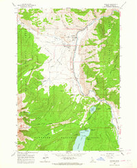
1963 · Stanley
USGS Topo · 1:24,000
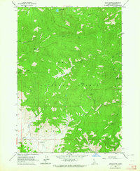
1963 · Basin Butte
USGS Topo · 1:24,000
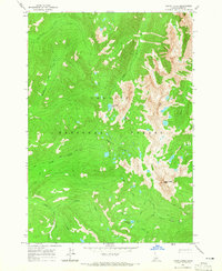
1964 · Knapp Lakes
USGS Topo · 1:24,000