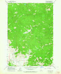
1963 Map of Basin Butte
USGS Topo · Published 1964About this map
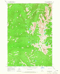
Challis National Forest dominates this mid-century topographic study, revealing a landscape defined by its high-elevation drainage systems and resource extraction history. The terrain is centered around the prominent Basin Butte Lookout and Potato Mountain, with numerous creeks such as Stanley Creek, Kelly Creek, and Duffy Creek carving through the mountain slopes. Evidence of mining activity is scattered across the quadrant, most notably at the Prospect Mine and several unnamed prospects located near Sawmill Creek.
Find a feature on this map
27 named features on this map. Tap any name to fly to it.
Don’t see what you’re looking for? This feature index may not catch every label — zoom into the map to look around manually.
Map Details
Editions of this 1963 Basin Butte Map
3 editions found

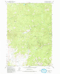
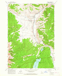
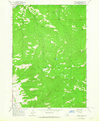
Other maps of this area

1891 · Bear Valley
USGS Topo · 1:125,000

1893 · Bear Valley
USGS Topo · 1:125,000

1919 · Custer
USGS Topo · 1:125,000

1922 · Custer
USGS Topo · 1:125,000

1957 · Challis
USGS Topo · 1:250,000

1960 · Challis
USGS Topo · 1:250,000

1963 · Challis
USGS Topo · 1:250,000
1963 · Stanley
USGS Topo · 1:24,000
1963 · Casino Lakes
USGS Topo · 1:24,000
1964 · Knapp Lakes
USGS Topo · 1:24,000