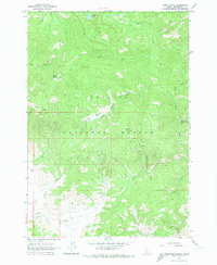
1963 Map of Basin Butte
USGS Topo · Published 1974About this map
Potato Mountain and Basin Butte dominate this section of the Challis National Forest, where high-elevation drainage systems define the landscape during the early 1960s. The map reveals a history of extraction and mountain transit, evidenced by the Hay Mine and various prospects scattered near the headwaters of Hay Creek. A network of primary trails and jeep trails connects these remote points, reflecting the difficult mobility required for forestry and mining operations.
Find a feature on this map
27 named features on this map. Tap any name to fly to it.
Don’t see what you’re looking for? This feature index may not catch every label — zoom into the map to look around manually.
Map Details
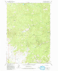
Editions of this 1963 Basin Butte Map
3 editions found
Other maps of this area

1891 · Bear Valley
USGS Topo · 1:125,000

1893 · Bear Valley
USGS Topo · 1:125,000

1919 · Custer
USGS Topo · 1:125,000

1922 · Custer
USGS Topo · 1:125,000

1957 · Challis
USGS Topo · 1:250,000

1960 · Challis
USGS Topo · 1:250,000

1963 · Challis
USGS Topo · 1:250,000

1963 · Stanley
USGS Topo · 1:24,000

1963 · Basin Butte
USGS Topo · 1:24,000

1963 · Casino Lakes
USGS Topo · 1:24,000