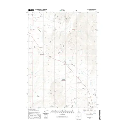
2013 Map of Elk Meadow
USGS Topo · Published 2013About this map
Challis National Forest dominates this Custer County landscape, where the high-altitude terrain is defined by its recreation and ranching infrastructure. The Elk Meadow area serves as a focal point for the mountain watershed, which feeds a complex network of streams including Valley Creek and Kelly Creek. Modern transportation and forest management are evident through the numerous roadside facilities such as the Vader Creek and Trap Creek rest areas, and the Sheep Trail and Stanley Lake campgrounds.
Find a feature on this map
52 named features on this map. Tap any name to fly to it.
Don’t see what you’re looking for? This feature index may not catch every label — zoom into the map to look around manually.
Map Details
Editions of this 2013 Elk Meadow Map
This is the sole edition of this map. No revisions or reprints were ever made.
Other maps of this area
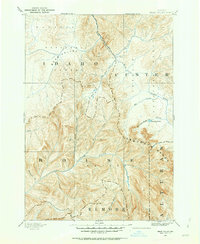
1891 · Bear Valley
USGS Topo · 1:125,000
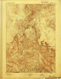
1893 · Bear Valley
USGS Topo · 1:125,000
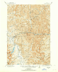
1919 · Custer
USGS Topo · 1:125,000
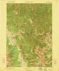
1922 · Custer
USGS Topo · 1:125,000

1957 · Challis
USGS Topo · 1:250,000

1960 · Challis
USGS Topo · 1:250,000

1963 · Challis
USGS Topo · 1:250,000
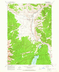
1963 · Stanley
USGS Topo · 1:24,000
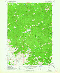
1963 · Basin Butte
USGS Topo · 1:24,000
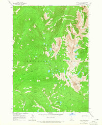
1964 · Knapp Lakes
USGS Topo · 1:24,000