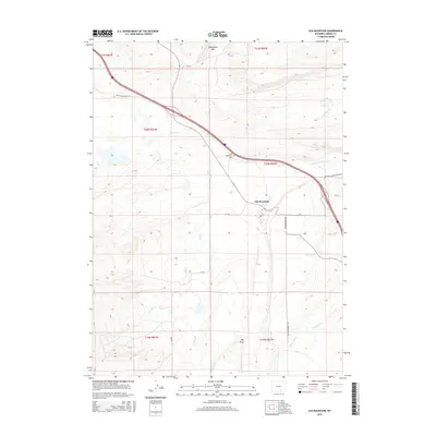
2015 Map of Elk Mountain
USGS Topo · Published 2015About this map
Elk Mountain sits at a geographic crossroads in Carbon County, where the high plains meet the northern slopes of its namesake peak. The Medicine Bow River winds through the landscape, supported by an intricate network of irrigation systems like Alpha Ditch and Tableland Ditch, which speak to the area’s ranching and agricultural foundations. North of the town, the Saddleback Hills rise above the drainage of Halleck Cr and Mill Cr, while the Elk Mountain Cem marks a point of local heritage along the modern transit corridor. Transportation history is deeply etched into the terrain, visible in the path of the Old Government Trl and the Wagonhound Rd, suggesting routes used by early settlers and travelers crossing this part of Wyoming before modern highways reached Rattlesnake Pass Rd.
Find a feature on this map
26 named features on this map. Tap any name to fly to it.
Don’t see what you’re looking for? This feature index may not catch every label — zoom into the map to look around manually.
Map Details
Editions of this 2015 Elk Mountain Map
This is the sole edition of this map. No revisions or reprints were ever made.
Other maps of this area

1893 · Fort Steele
USGS Topo · 1:125,000

1914 · Hanna
USGS Topo · 1:62,500

1914 · Saddleback Hills
USGS Topo · 1:62,500

1921 · Saddleback Hills
USGS Topo · 1:62,500

1954 · Rawlins
USGS Topo · 1:250,000

1955 · Elk Mountain
USGS Topo · 1:24,000

1955 · Elk Mountain SW
USGS Topo · 1:24,000

1955 · Rattlesnake Pass
USGS Topo · 1:24,000

1955 · Coad Mountain
USGS Topo · 1:24,000

1958 · Rawlins
USGS Topo · 1:250,000