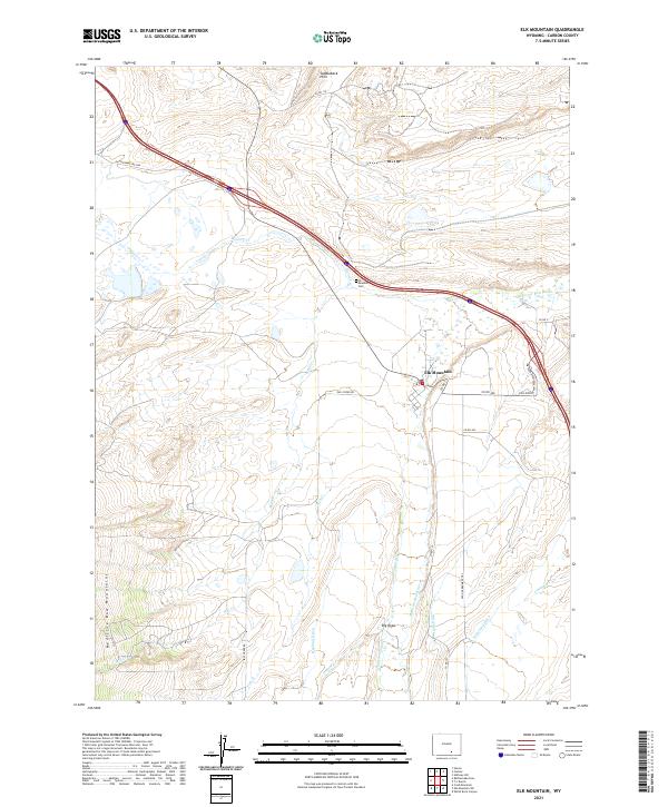
2021 Map of Elk Mountain
USGS Topo · Published 2021About this map
Elk Mountain sits at the heart of this high-country landscape where the Medicine Bow River winds northward through a complex system of agricultural irrigation. The town’s history is anchored by the Elk Mountain Cem and its proximity to historical transport routes, including the Old Government Trl. To the south, the foothills of the Medicine Bow Mountains rise toward Big Draw, while the northern landscape is defined by the Saddleback Hills. The map details an extensive network of water management features, such as Haglund Ditch, Alpha Ditch, and Tableland Ditch, which reflect the area's long-standing ranching and water rights infrastructure. Historical travel is further evidenced by named corridors like Rattlesnake Pass Rd and the Elk Mountain Medicine Bow Rd, connecting this isolated settlement to the broader Carbon County region.
Find a feature on this map
29 named features on this map. Tap any name to fly to it.
Don’t see what you’re looking for? This feature index may not catch every label — zoom into the map to look around manually.
Map Details
Editions of this 2021 Elk Mountain Map
This is the sole edition of this map. No revisions or reprints were ever made.
Other maps of this area

1893 · Fort Steele
USGS Topo · 1:125,000

1914 · Hanna
USGS Topo · 1:62,500

1914 · Saddleback Hills
USGS Topo · 1:62,500

1921 · Saddleback Hills
USGS Topo · 1:62,500

1954 · Rawlins
USGS Topo · 1:250,000

1955 · Elk Mountain
USGS Topo · 1:24,000

1955 · Elk Mountain SW
USGS Topo · 1:24,000

1955 · Rattlesnake Pass
USGS Topo · 1:24,000

1955 · Coad Mountain
USGS Topo · 1:24,000

1958 · Rawlins
USGS Topo · 1:250,000