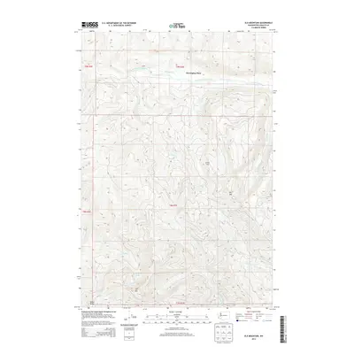
2014 Map of Elk Mountain
USGS Topo · Published 2014About this map
Harrington Place and the high ridges of the Washington Cascades define this landscape in Cowlitz County. The map documents a complex drainage system where the South Fork Toutle River and its tributaries, including Whitten Cr and Harrington Cr, carve through the northern elevations. To the south, the headwaters of the Coweeman River emerge near Coweeman Lake and the prominent summit of Elk Mtn. This 2014 survey shows the area as it appeared decades after the 1980 eruption of Mount St. Helens, which drastically altered these river valleys. The terrain is marked by distinctive local landmarks like Little Cow and Big Bull, and the southern extent reaches the N Fork Kalama River and Butler Butte.
Find a feature on this map
21 named features on this map. Tap any name to fly to it.
Don’t see what you’re looking for? This feature index may not catch every label — zoom into the map to look around manually.
Map Details
Editions of this 2014 Elk Mountain Map
This is the sole edition of this map. No revisions or reprints were ever made.
Other maps of this area

1919 · Mount St Helens
USGS Topo · 1:125,000

1942 · Toutle
USGS Topo · 1:62,500

1943 · Pigeon Springs
USGS Topo · 1:62,500

1953 · Hoquiam
USGS Topo · 1:250,000

1953 · Toutle
USGS Topo · 1:62,500

1953 · Pigeon Springs
USGS Topo · 1:62,500

1953 · Cougar
USGS Topo · 1:62,500

1953 · Elk Rock
USGS Topo · 1:62,500

1957 · Hoquiam
USGS Topo · 1:250,000

1958 · Hoquiam
USGS Topo · 1:250,000