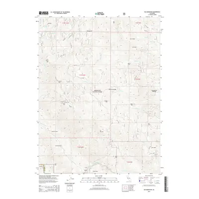
2015 Map of Elk Mountain
USGS Topo · Published 2015About this map
Mendocino National Forest defines the geography of this northern California landscape, centered on the high elevations of Elk Mountain. The map shows a remote network of ridges and drainages, notably Log Ridge and Packsaddle Spur, where historical human activity was often tied to timber or ranching. The presence of Prather Mill and small, scattered settlements like Enterprise and Vann suggests the localized industries that once thrived in these canyons. Water sources are vital features here, with the Rice Fork and its tributaries such as Salt Glade Cr and Bevans Creek carving through the terrain. Evidence of earlier recreational or medicinal use of the land appears at Parramore Springs and Bevans Flat, while distinctive peaks like Horse Mountain and Bear Peak serve as prominent landmarks.
Find a feature on this map
49 named features on this map. Tap any name to fly to it.
Don’t see what you’re looking for? This feature index may not catch every label — zoom into the map to look around manually.
Map Details
Editions of this 2015 Elk Mountain Map
This is the sole edition of this map. No revisions or reprints were ever made.
Other maps of this area
1920 · Ukiah
USGS Topo · 1:62,500
1922 · Hullville
USGS Topo · 1:62,500
1938 · Lakeport
USGS Topo · 1:62,500
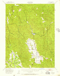
1943 · Pomo
USGS Topo · 1:62,500
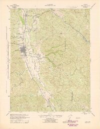
1944 · Ukiah
USGS Topo · 1:62,500
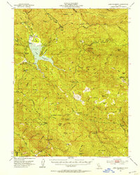
1951 · Lake Pillsbury
USGS Topo · 1:62,500
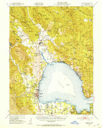
1951 · Lakeport
USGS Topo · 1:62,500
1957 · Ukiah
USGS Topo · 1:250,000
1958 · Cow Mountain
USGS Topo · 1:24,000
1958 · Ukiah
USGS Topo · 1:62,500