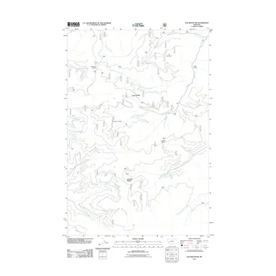
2011 Map of Elk Mountain
USGS Topo · Published 2011About this map
Elk Mountain dominates the high ridgelines of Missoula County in this 2011 survey, serving as a primary landmark for a network of forest service roads and drainage basins. The area is defined by a series of prominent high-altitude crossings, including Holloman Saddle, Yukon Saddle, and Eightmile Saddle, which connect the deep valleys of the Sapphire Range. These saddles were critical for historical transit between the various forks of the local creek systems, notably Swartz Creek and Eightmile Creek.
Find a feature on this map
21 named features on this map. Tap any name to fly to it.
Don’t see what you’re looking for? This feature index may not catch every label — zoom into the map to look around manually.
Map Details
Editions of this 2011 Elk Mountain Map
This is the sole edition of this map. No revisions or reprints were ever made.
Other maps of this area

1903 · Bonner
USGS Topo · 1:125,000

1947 · Butte
USGS Topo · 1:250,000

1958 · Butte
USGS Topo · 1:250,000

1959 · Cleveland Mountain
USGS Topo · 1:62,500

1959 · Ravenna
USGS Topo · 1:62,500

1960 · Butte
USGS Topo · 1:250,000

1962 · Butte
USGS Topo · 1:250,000
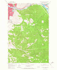
1964 · Southeast Missoula
USGS Topo · 1:24,000
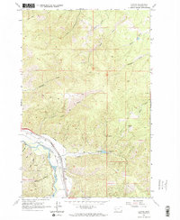
1965 · Clinton
USGS Topo · 1:24,000
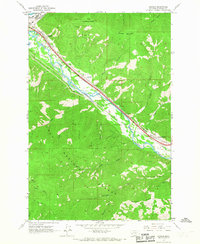
1965 · Bonner
USGS Topo · 1:24,000