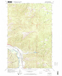
1965 Map of Clinton
USGS Topo · Published 1967About this map
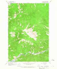
Clark Fork defines the southern reach of this mid-1960s Montana landscape, where the settlement of Clinton sits at a critical junction of transportation and industry. The dual rail lines of the Northern Pacific and the Chicago Milwaukee St Paul and Pacific run parallel through the valley, serving a region defined by its resource extraction. In the hills of the Lolo National Forest to the east, the map documents a cluster of mining operations, including the Hidden Treasure Mine, Triangle Mine, and Bellview Mine, along with various prospects near the headwaters of Wallace Creek. North of the river, the terrain rises toward Olson Peak, cut by numerous drainages like Bear Creek and Norman Creek. The presence of an Irrigation District and a spillway near Ike Creek suggests the managed water systems necessary for local agriculture and industry during this era.
Find a feature on this map
27 named features on this map. Tap any name to fly to it.
Don’t see what you’re looking for? This feature index may not catch every label — zoom into the map to look around manually.
Map Details
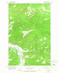
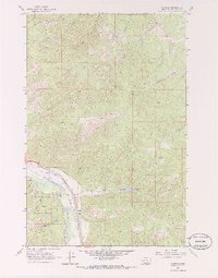
Editions of this 1965 Clinton Map
3 editions found
Other maps of this area

1903 · Bonner
USGS Topo · 1:125,000

1947 · Butte
USGS Topo · 1:250,000

1958 · Butte
USGS Topo · 1:250,000

1959 · Cleveland Mountain
USGS Topo · 1:62,500

1959 · Ravenna
USGS Topo · 1:62,500

1960 · Butte
USGS Topo · 1:250,000

1962 · Butte
USGS Topo · 1:250,000
1965 · Sunflower Mountain
USGS Topo · 1:24,000
1965 · Blue Point
USGS Topo · 1:24,000
1965 · Mineral Ridge
USGS Topo · 1:24,000