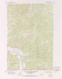
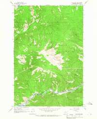
1965 Map of Clinton
USGS Topo · Published 1986About this map
Clinton serves as the focal point for this 1960s study, situated where the Clark Fork valley meets the rugged drainages of the Lolo National Forest. The landscape is defined by the heavy infrastructure of the era, specifically the dual rail lines of the Northern Pacific and the Chicago Milwaukee St Paul and Pacific which parallel the river. Local industry is clearly mapped through several active extraction sites in the eastern hills, including the Belview Mine, Triangle Mine, and the optimistically named Hidden Treasure Mine.
Find a feature on this map
33 named features on this map. Tap any name to fly to it.
Don’t see what you’re looking for? This feature index may not catch every label — zoom into the map to look around manually.
Map Details
Editions of this 1965 Clinton Map
3 editions found
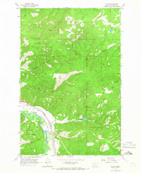
Other maps of this area

1903 · Bonner
USGS Topo · 1:125,000

1947 · Butte
USGS Topo · 1:250,000

1958 · Butte
USGS Topo · 1:250,000

1959 · Cleveland Mountain
USGS Topo · 1:62,500

1959 · Ravenna
USGS Topo · 1:62,500

1960 · Butte
USGS Topo · 1:250,000

1962 · Butte
USGS Topo · 1:250,000
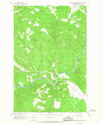
1965 · Sunflower Mountain
USGS Topo · 1:24,000
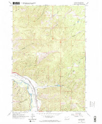
1965 · Clinton
USGS Topo · 1:24,000
1965 · Blue Point
USGS Topo · 1:24,000