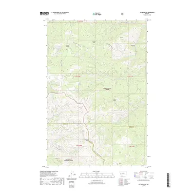
2020 Map of Elk Mountain
USGS Topo · Published 2020About this map
Lolo National Forest and Bitterroot National Forest meet at a complex high-altitude junction where Missoula, Ravalli, and Granite Counties converge. The landscape is defined by its drainage systems and sharp ridgelines, including Moccasin Ridge and Cooney Ridge. Historical access through this remote area is marked by Two Y Junction and a series of forest routes like W Fork Schwartz Creek Rd and Eightmile Creek Rd.
Find a feature on this map
37 named features on this map. Tap any name to fly to it.
Don’t see what you’re looking for? This feature index may not catch every label — zoom into the map to look around manually.
Map Details
Editions of this 2020 Elk Mountain Map
This is the sole edition of this map. No revisions or reprints were ever made.
Other maps of this area

1903 · Bonner
USGS Topo · 1:125,000

1947 · Butte
USGS Topo · 1:250,000

1958 · Butte
USGS Topo · 1:250,000

1959 · Cleveland Mountain
USGS Topo · 1:62,500

1959 · Ravenna
USGS Topo · 1:62,500

1960 · Butte
USGS Topo · 1:250,000

1962 · Butte
USGS Topo · 1:250,000
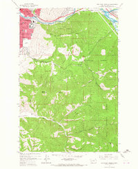
1964 · Southeast Missoula
USGS Topo · 1:24,000
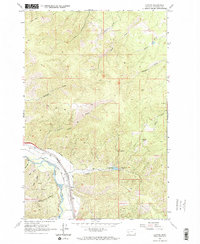
1965 · Clinton
USGS Topo · 1:24,000
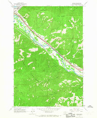
1965 · Bonner
USGS Topo · 1:24,000