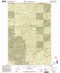
1999 Map of Elk Mountain
USGS Topo · Published 2003About this map
The Bitterroot Divide forms a high-altitude spine through this late-twentieth-century survey, marking the jurisdictional boundaries of the Lolo National Forest and Bitterroot National Forest. This section of the Sapphire Mountains is characterized by its network of saddles and ridges, including Holloman Saddle and Cooney Ridge, which dictate the flow of numerous drainages like Plant Creek and Eightmile Creek. The landscape transitions into protected territory within the Welcome Creek Wilderness in the southeast, where the South Fork Welcome Creek flows. Evidence of local industrial activity is noted at the Gravel Pit near the northern boundary, while natural water sources like Lost Drink Spring provide critical landmarks for those navigating the higher elevations near Elk Mountain.
Find a feature on this map
32 named features on this map. Tap any name to fly to it.
Don’t see what you’re looking for? This feature index may not catch every label — zoom into the map to look around manually.
Map Details
Editions of this 1999 Elk Mountain Map
This is the sole edition of this map. No revisions or reprints were ever made.
Other maps of this area

1903 · Bonner
USGS Topo · 1:125,000

1947 · Butte
USGS Topo · 1:250,000

1958 · Butte
USGS Topo · 1:250,000

1959 · Cleveland Mountain
USGS Topo · 1:62,500

1959 · Ravenna
USGS Topo · 1:62,500

1960 · Butte
USGS Topo · 1:250,000

1962 · Butte
USGS Topo · 1:250,000
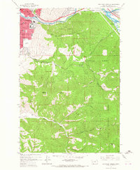
1964 · Southeast Missoula
USGS Topo · 1:24,000
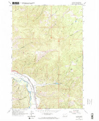
1965 · Clinton
USGS Topo · 1:24,000
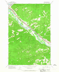
1965 · Bonner
USGS Topo · 1:24,000