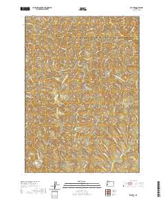
2020 Map of Elk Peak
USGS Topo · Published 2020About this map
Elk Peak and Dean Mtn stand as prominent landmarks in this 2020 survey of the border region between Coos and Douglas Counties. The landscape is defined by its complex drainage network, where the W Fork Millicoma River and numerous tributaries like Luder Cr and Kelly Cr carve deep through the coastal mountains. The name Schoolhouse Cr in the southern portion suggests the historical presence of early rural school sites, while Stulls Falls marks a specific point of geological interest along the river system.
Find a feature on this map
44 named features on this map. Tap any name to fly to it.
Don’t see what you’re looking for? This feature index may not catch every label — zoom into the map to look around manually.
Map Details
Editions of this 2020 Elk Peak Map
This is the sole edition of this map. No revisions or reprints were ever made.
Other maps of this area
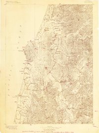
1896 · Coos Bay
USGS Topo · 1:125,000
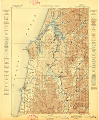
1898 · Coos Bay
USGS Topo · 1:125,000
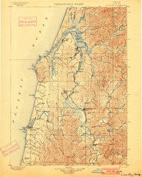
1900 · Coos Bay
USGS Topo · 1:125,000
1923 · Reedsport
USGS Topo · 1:62,500
1928 · Sitkum
USGS Topo · 1:125,000
1942 · Reedsport
USGS Topo · 1:62,500
1942 · Coos Bay
USGS Topo · 1:62,500
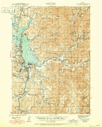
1945 · Coos Bay
USGS Topo · 1:62,500
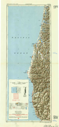
1954 · Coos Bay
USGS Topo · 1:250,000
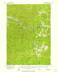
1955 · Scottsburg
USGS Topo · 1:62,500