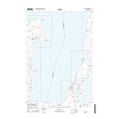
2014 Map of Elk Rapids
USGS Topo · Published 2014About this map
Old Mission and the northern tip of the Old Mission Peninsula define the western half of this 2014 survey, where the land narrows toward Old Mission Point and Leffingwell Point. This finger of land is bounded by Grand Traverse Bay and Lake Michigan, showing a landscape dominated by shoreline access points like Haserot Beach and Old Mission Harbor. Genealogists may find interest in the location of Lakeside Cem on the peninsula or Maple Grove Cem near the eastern shore.
Find a feature on this map
85 named features on this map. Tap any name to fly to it.
Don’t see what you’re looking for? This feature index may not catch every label — zoom into the map to look around manually.
Map Details
Editions of this 2014 Elk Rapids Map
This is the sole edition of this map. No revisions or reprints were ever made.
Other maps of this area

1954 · Central Lake
USGS Topo · 1:62,500

1954 · Traverse City
USGS Topo · 1:250,000

1955 · Cheboygan
USGS Topo · 1:250,000

1957 · Traverse City
USGS Topo · 1:62,500

1957 · Northport
USGS Topo · 1:62,500

1957 · Elk Rapids
USGS Topo · 1:62,500

1958 · Cheboygan
USGS Topo · 1:250,000

1958 · Traverse City
USGS Topo · 1:250,000

1983 · Omena
USGS Topo · 1:24,000

1983 · Traverse City SE
USGS Topo · 1:25,000
Featured Places
- Peninsula Township, MI
- Elk Rapids, MI
- Old Mission, Peninsula Township
- Elk Rapids Township, MI
- Milton Township, MI