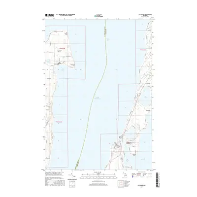
2017 Map of Elk Rapids
USGS Topo · Published 2017About this map
Old Mission Peninsula divides the waters of Grand Traverse Bay, anchoring a landscape defined by its deep relationship with Lake Michigan. In the early 21st century, this area maintained its distinct character, from the clustered settlement at Old Mission near Old Mission Harbor to the eastern shores where Elk Rapids sits at the narrow outlet of Elk River. The map details the transition from the peninsula's orchards and residential roads like Center Rd and Mission Rd to the mainland's larger interior water bodies. Genealogists can locate Lakeside Cem on the peninsula or Maple Grove Cem near Spencer Bay. The proximity of Birch Lake, Bass Lake, and Elk Lake creates a dense network of riparian environments and specialized coastal landmarks such as Leffingwell Point and Meguzee Point.
Find a feature on this map
84 named features on this map. Tap any name to fly to it.
Don’t see what you’re looking for? This feature index may not catch every label — zoom into the map to look around manually.
Map Details
Editions of this 2017 Elk Rapids Map
This is the sole edition of this map. No revisions or reprints were ever made.
Other maps of this area

1954 · Central Lake
USGS Topo · 1:62,500

1954 · Traverse City
USGS Topo · 1:250,000

1955 · Cheboygan
USGS Topo · 1:250,000

1957 · Traverse City
USGS Topo · 1:62,500

1957 · Northport
USGS Topo · 1:62,500

1957 · Elk Rapids
USGS Topo · 1:62,500

1958 · Cheboygan
USGS Topo · 1:250,000

1958 · Traverse City
USGS Topo · 1:250,000

1983 · Omena
USGS Topo · 1:24,000

1983 · Traverse City SE
USGS Topo · 1:25,000
Featured Places
- Peninsula Township, MI
- Elk Rapids, MI
- Old Mission, Peninsula Township
- Elk Rapids Township, MI
- Milton Township, MI