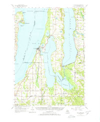
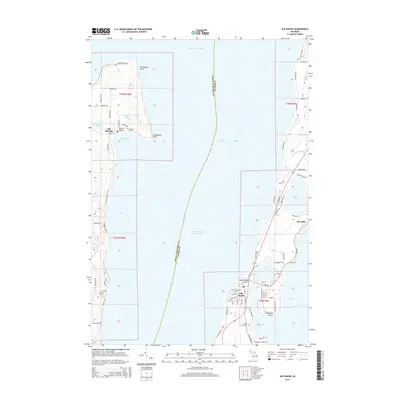
1957 Map of Elk Rapids
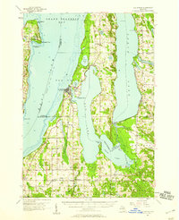
USGS Topo · Published 1971About this map
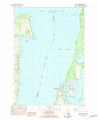
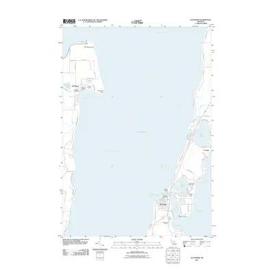
The northern reaches of the Antrim County lake chain dominate this survey, centered on the narrow isthmus where Elk Lake empties into Grand Traverse Bay via the short Elk River. The village of Elk Rapids serves as the primary hub for this aquatic network, while the Chesapeake and Ohio railroad tracks trace a path through the southern timberlands and fruit-growing districts. The map documents the rural infrastructure of the mid-1950s, including the South Milton Community Hall and the South Milton Cem. To the east, the sprawling waters of Torch Lake and Lake Skegemog are bounded by the Au Sable State Forest and the Kalkaska State Forest. Notable local landmarks like the Lighthouse at Old Mission Point and the Clearwater Chapel near Rapid City provide specific points of interest for local history researchers.
Find a feature on this map
61 named features on this map. Tap any name to fly to it.
Don’t see what you’re looking for? This feature index may not catch every label — zoom into the map to look around manually.
Map Details
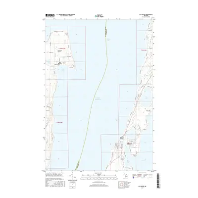
Editions of this 1957 Elk Rapids Map
2 editions found
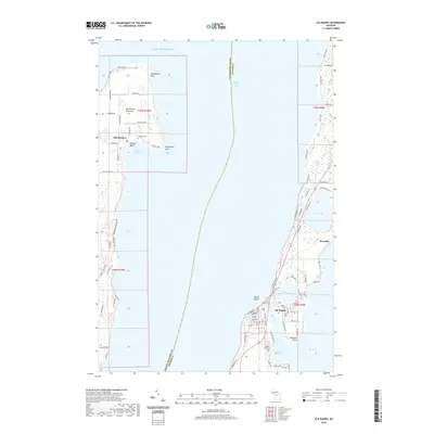
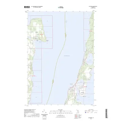
Historical Maps of Peninsula Township Through Time
7 maps found
Featured Locations
- Acme Township, MI
- Peninsula Township, MI
- Whitewater Township, MI
- Rapid City, Clearwater Township
- Elk Rapids, Elk Rapids Township