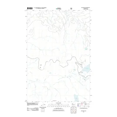
2011 Map of Elk Rock
USGS Topo · Published 2011About this map
Elk Rock Lookout stands as a primary high-ground landmark in this terrain, situated just above the winding North Fork Toutle River. This landscape is defined by its deep drainage networks, where numerous watercourses like Hoffstadt Creek and Maratta Creek flow through narrow valleys toward the larger river basin. The map reveals a series of localized bodies of water, including Coldwater Lake and Castle Lake, which sit at the base of prominent rises like Spud Mountain. The distribution of these features suggests a dynamic geological environment shaped by significant water movement and elevation changes. Tracing the paths of Shultz Creek and Jackson Creek offers insight into the complex watershed that characterizes this part of Washington, while the presence of Elk Rock provides a focal point for the surrounding topography.
Find a feature on this map
16 named features on this map. Tap any name to fly to it.
Don’t see what you’re looking for? This feature index may not catch every label — zoom into the map to look around manually.
Map Details
Editions of this 2011 Elk Rock Map
This is the sole edition of this map. No revisions or reprints were ever made.
Other maps of this area
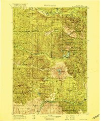
1919 · Mount St Helens
USGS Topo · 1:125,000

1953 · Hoquiam
USGS Topo · 1:250,000
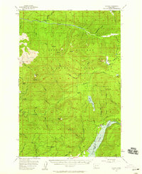
1953 · Cougar
USGS Topo · 1:62,500
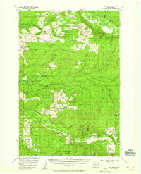
1953 · Elk Rock
USGS Topo · 1:62,500
1957 · Hoquiam
USGS Topo · 1:250,000
1957 · Spirit Lake
USGS Topo · 1:62,500
1958 · Mt St. Helens
USGS Topo · 1:62,500
1958 · Hoquiam
USGS Topo · 1:250,000
1962 · Hoquiam
USGS Topo · 1:250,000
1975 · Spirit Lake SW
USGS Topo · 1:24,000