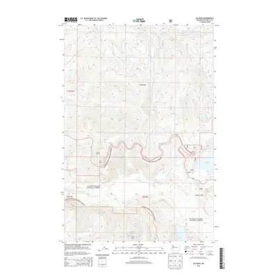
2013 Map of Elk Rock
USGS Topo · Published 2013About this map
Gifford Pinchot National Forest defines the topography of this corner of Washington, where the landscape was fundamentally reshaped by volcanic activity in the late twentieth century. The N Fork Toutle River carves a central path through the terrain, flanked by significant elevations like Elk Rock and Spud Mtn. This 2013 survey illustrates the post-eruption environment, showing the formation and extent of Coldwater Lake and Castle Lake, which were created by debris avalanches blocking creek drainages. Significant vantage points such as Elk Rock Lookout and Johnston Ridge offer oversight of this recovering wilderness. The map details the drainage network of Maratta Cr and Hoffstadt Cr as they feed into the main river valley, alongside the high-elevation Fawn Lake to the northeast.
Find a feature on this map
24 named features on this map. Tap any name to fly to it.
Don’t see what you’re looking for? This feature index may not catch every label — zoom into the map to look around manually.
Map Details
Editions of this 2013 Elk Rock Map
This is the sole edition of this map. No revisions or reprints were ever made.
Other maps of this area
1919 · Mount St Helens
USGS Topo · 1:125,000

1953 · Hoquiam
USGS Topo · 1:250,000
1953 · Cougar
USGS Topo · 1:62,500
1953 · Elk Rock
USGS Topo · 1:62,500
1957 · Hoquiam
USGS Topo · 1:250,000
1957 · Spirit Lake
USGS Topo · 1:62,500
1958 · Mt St. Helens
USGS Topo · 1:62,500
1958 · Hoquiam
USGS Topo · 1:250,000
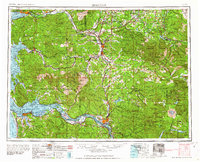
1962 · Hoquiam
USGS Topo · 1:250,000
1975 · Spirit Lake SW
USGS Topo · 1:24,000