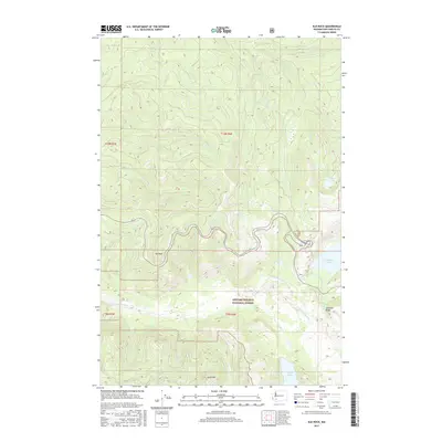
2017 Map of Elk Rock
USGS Topo · Published 2017About this map
Gifford Pinchot National Forest dominates this landscape in the years following the massive geographic shifts caused by volcanic activity in the region. The map documents a recovering environment where the N Fork Toutle River carves through a transformed valley floor, flanked by prominent elevations such as Elk Rock and Spud Mtn. The drainage patterns are clearly defined by numerous tributaries, including Hoffstadt Cr, Bear Cr, and Maratta Cr, which feed into the primary river system.
Find a feature on this map
19 named features on this map. Tap any name to fly to it.
Don’t see what you’re looking for? This feature index may not catch every label — zoom into the map to look around manually.
Map Details
Editions of this 2017 Elk Rock Map
This is the sole edition of this map. No revisions or reprints were ever made.
Other maps of this area
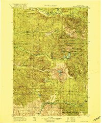
1919 · Mount St Helens
USGS Topo · 1:125,000

1953 · Hoquiam
USGS Topo · 1:250,000
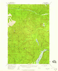
1953 · Cougar
USGS Topo · 1:62,500
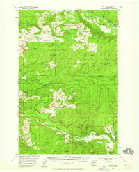
1953 · Elk Rock
USGS Topo · 1:62,500
1957 · Hoquiam
USGS Topo · 1:250,000
1957 · Spirit Lake
USGS Topo · 1:62,500
1958 · Mt St. Helens
USGS Topo · 1:62,500
1958 · Hoquiam
USGS Topo · 1:250,000
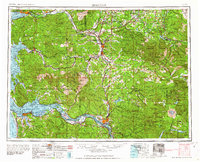
1962 · Hoquiam
USGS Topo · 1:250,000
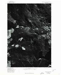
1975 · Spirit Lake SW
USGS Topo · 1:24,000