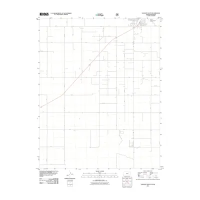
2011 Map of Elkhart South
USGS Topo · Published 2011About this map
Morton County’s High Plains agricultural landscape is defined by an orderly grid of section-line roads, such as Rd B, Rd C, and Road E, which facilitate the region’s intensive ranching and farming operations. The town of Elkhart anchors the northern edge of the map, where the Elkhart-Morton County Airport serves as a vital transportation hub for this remote corner of Kansas near the Oklahoma border. A diagonal highway corridor cuts across the geometric precision of the landscape, providing a primary link between local homesteads and the larger region.
Find a feature on this map
15 named features on this map. Tap any name to fly to it.
Don’t see what you’re looking for? This feature index may not catch every label — zoom into the map to look around manually.
Map Details
Editions of this 2011 Elkhart South Map
This is the sole edition of this map. No revisions or reprints were ever made.
Other maps of this area

1892 · Vilas
USGS Topo · 1:125,000

1954 · Perryton
USGS Topo · 1:250,000

1954 · Dalhart
USGS Topo · 1:250,000

1955 · La Junta
USGS Topo · 1:250,000

1955 · Dodge City
USGS Topo · 1:250,000

1958 · Perryton
USGS Topo · 1:250,000

1958 · La Junta
USGS Topo · 1:250,000

1958 · Dodge City
USGS Topo · 1:250,000

1958 · Dalhart
USGS Topo · 1:250,000

1959 · Dodge City
USGS Topo · 1:250,000