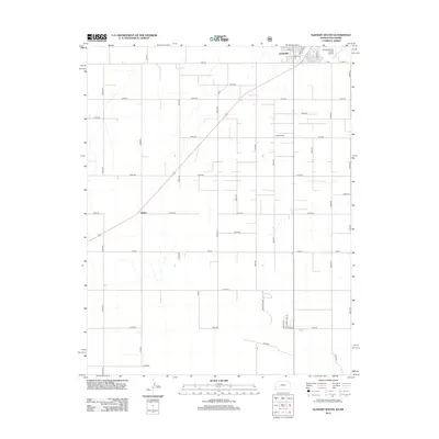
2012 Map of Elkhart South
USGS Topo · Published 2012About this map
The borderlands of the Kansas-Oklahoma state line are defined by the high plains grid of Morton County in this 2012 survey. The city of Elkhart anchors the northern edge of the map, showing a concentrated street plan with names like Asmus St and Border Ave, the latter tracing the geometric boundary between states. This region is characterized by large-scale agricultural blocks and a network of section roads such as N0570 Rd and Road F that facilitate the movement of goods and equipment across the open terrain.
Find a feature on this map
41 named features on this map. Tap any name to fly to it.
Don’t see what you’re looking for? This feature index may not catch every label — zoom into the map to look around manually.
Map Details
Editions of this 2012 Elkhart South Map
This is the sole edition of this map. No revisions or reprints were ever made.
Other maps of this area

1892 · Vilas
USGS Topo · 1:125,000

1954 · Perryton
USGS Topo · 1:250,000

1954 · Dalhart
USGS Topo · 1:250,000

1955 · La Junta
USGS Topo · 1:250,000

1955 · Dodge City
USGS Topo · 1:250,000

1958 · Perryton
USGS Topo · 1:250,000

1958 · La Junta
USGS Topo · 1:250,000

1958 · Dodge City
USGS Topo · 1:250,000

1958 · Dalhart
USGS Topo · 1:250,000

1959 · Dodge City
USGS Topo · 1:250,000