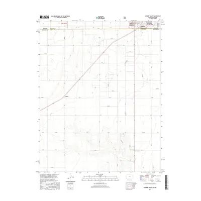
2015 Map of Elkhart South
USGS Topo · Published 2015About this map
Elkhart sits at the northern edge of this high plains landscape, where the border between Kansas and Oklahoma is defined by State Line Rd. The terrain is marked by the vast acreage of the Cimarron National Grassland, which preserves a distinct prairie ecosystem north of the boundary. A railroad corridor cuts diagonally through the center of the sheet, connecting the settlement of Libbey to the regional hub at Elkhart. The local economy and infrastructure are evidenced by the Amigo Feeders operation and the Elkhart-Morton County Airport. For those researching local burials, the Cosmos Cem is located east of the rail line, providing a specific point of interest for genealogical study. The map illustrates a highly organized grid of rural routes, including Rd B and Rd G, which service the agricultural and ranching lands of Morton and Texas Counties.
Find a feature on this map
28 named features on this map. Tap any name to fly to it.
Don’t see what you’re looking for? This feature index may not catch every label — zoom into the map to look around manually.
Map Details
Editions of this 2015 Elkhart South Map
This is the sole edition of this map. No revisions or reprints were ever made.
Other maps of this area

1892 · Vilas
USGS Topo · 1:125,000

1954 · Perryton
USGS Topo · 1:250,000

1954 · Dalhart
USGS Topo · 1:250,000

1955 · La Junta
USGS Topo · 1:250,000

1955 · Dodge City
USGS Topo · 1:250,000

1958 · Perryton
USGS Topo · 1:250,000

1958 · La Junta
USGS Topo · 1:250,000

1958 · Dodge City
USGS Topo · 1:250,000

1958 · Dalhart
USGS Topo · 1:250,000

1959 · Dodge City
USGS Topo · 1:250,000