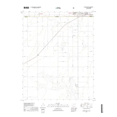
2018 Map of Elkhart South
USGS Topo · Published 2018About this map
Elkhart sits at the northern edge of this high plains landscape, situated immediately above the border where Kansas meets Oklahoma. This 2018 survey documents a region defined by large-scale conservation and precise agricultural boundaries, most notably the expansive Cimarron National Grassland that straddles the state line. South of town, the terrain is gridded by a network of rural routes such as State Line Rd and Rd E, which provide access to the small community of Libbey and the Cosmos Cem. The map reveals a land of wide-open spaces transitioning into the more varied topography found near the Oklahoma panhandle. In addition to the municipal infrastructure of the Elkhart-Morton County Airport, the map shows the drainage patterns of several unnamed draws that wind toward the south, cutting through the section lines of Co Rd G and Co Rd H.
Find a feature on this map
50 named features on this map. Tap any name to fly to it.
Don’t see what you’re looking for? This feature index may not catch every label — zoom into the map to look around manually.
Map Details
Editions of this 2018 Elkhart South Map
This is the sole edition of this map. No revisions or reprints were ever made.
Other maps of this area

1892 · Vilas
USGS Topo · 1:125,000

1954 · Perryton
USGS Topo · 1:250,000

1954 · Dalhart
USGS Topo · 1:250,000

1955 · La Junta
USGS Topo · 1:250,000

1955 · Dodge City
USGS Topo · 1:250,000

1958 · Perryton
USGS Topo · 1:250,000

1958 · La Junta
USGS Topo · 1:250,000

1958 · Dodge City
USGS Topo · 1:250,000

1958 · Dalhart
USGS Topo · 1:250,000

1959 · Dodge City
USGS Topo · 1:250,000