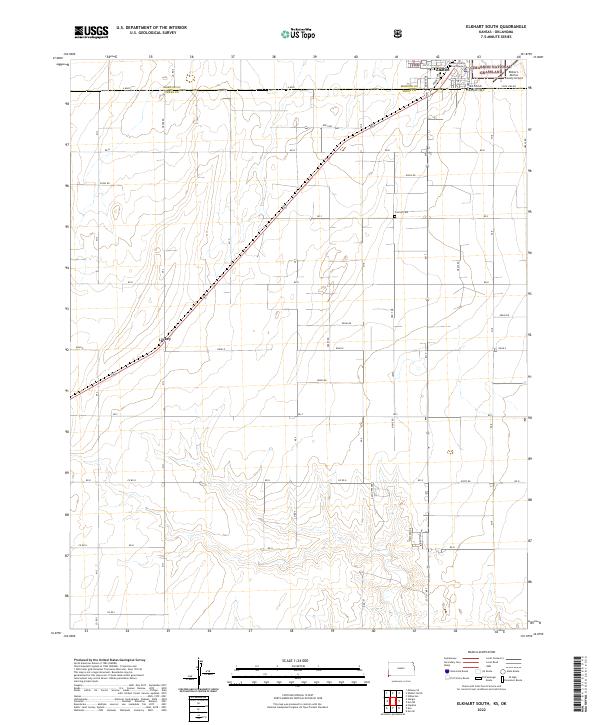
2022 Map of Elkhart South
USGS Topo · Published 2022About this map
Elkhart sits at the northern edge of this high plains landscape, positioned directly against the jurisdictional line where Kansas and Oklahoma meet. As a central hub for the region, the town contains the Morton County Courthouse and the nearby Elkhart-Morton County Airport. The settlement pattern reflects the rigid grid of the American West, defined by cardinal roads like Mi 2 and Road E that segment the prairie into precise square sections.
Find a feature on this map
54 named features on this map. Tap any name to fly to it.
Don’t see what you’re looking for? This feature index may not catch every label — zoom into the map to look around manually.
Map Details
Editions of this 2022 Elkhart South Map
This is the sole edition of this map. No revisions or reprints were ever made.
Other maps of this area

1892 · Vilas
USGS Topo · 1:125,000

1954 · Perryton
USGS Topo · 1:250,000

1954 · Dalhart
USGS Topo · 1:250,000

1955 · La Junta
USGS Topo · 1:250,000

1955 · Dodge City
USGS Topo · 1:250,000

1958 · Perryton
USGS Topo · 1:250,000

1958 · La Junta
USGS Topo · 1:250,000

1958 · Dodge City
USGS Topo · 1:250,000

1958 · Dalhart
USGS Topo · 1:250,000

1959 · Dodge City
USGS Topo · 1:250,000