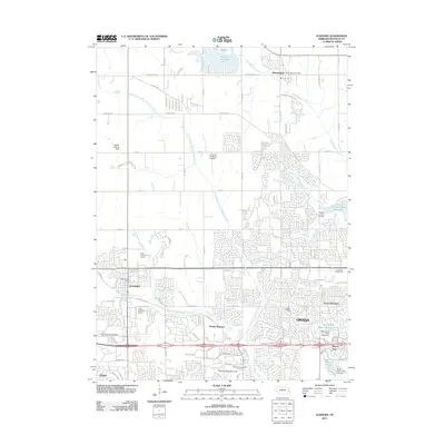
2011 Map of Elkhorn
USGS Topo · Published 2011About this map
Boys Town and the expanding residential outskirts of Omaha define this 2011 survey of western Douglas County. The landscape shows a mix of established rural infrastructure and rapid suburban development, particularly around the Omaha Regency and Green Meadows neighborhoods. Historically significant transit routes like the Old Lincoln Hwy and Military Rd cross the terrain, providing a look at the area's evolution from a prairie crossing to a primary residential corridor.
Find a feature on this map
42 named features on this map. Tap any name to fly to it.
Don’t see what you’re looking for? This feature index may not catch every label — zoom into the map to look around manually.
Map Details
Editions of this 2011 Elkhorn Map
This is the sole edition of this map. No revisions or reprints were ever made.
Other maps of this area

1893 · Fremont
USGS Topo · 1:125,000

1896 · Fremont
USGS Topo · 1:125,000

1955 · Fremont
USGS Topo · 1:250,000

1956 · Gretna
USGS Topo · 1:24,000

1956 · Ralston
USGS Topo · 1:24,000

1956 · Irvington
USGS Topo · 1:24,000

1957 · Fremont
USGS Topo · 1:250,000

1958 · Fremont
USGS Topo · 1:250,000

1968 · Valley
USGS Topo · 1:24,000

1968 · Kennard
USGS Topo · 1:24,000