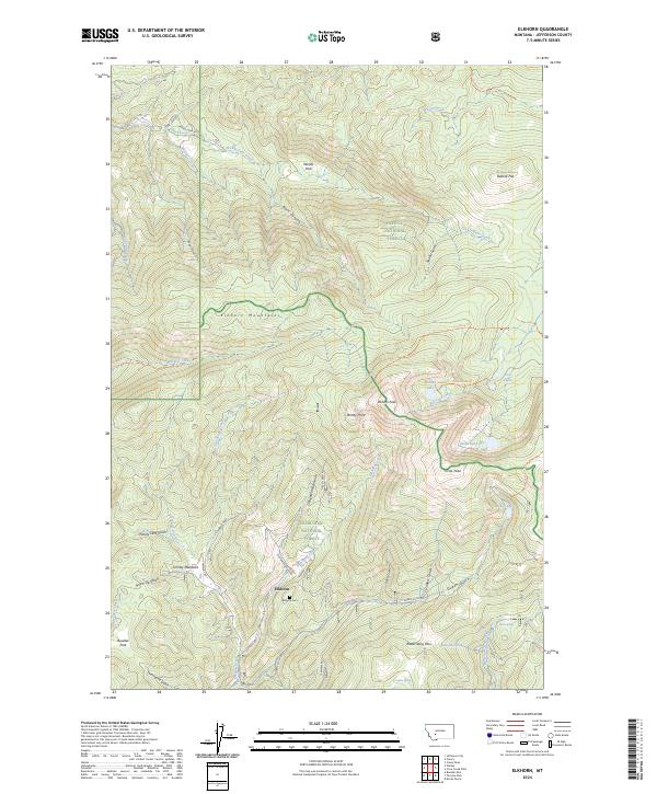
2024 Map of Elkhorn
USGS Topo · Published 2024About this map
Elkhorn sits at the heart of this high-elevation landscape, where the Helena National Forest and Deerlodge National Forest converge. The topography is defined by the steep rises of the Elkhorn Mountains, reaching their heights at Elkhorn Peak and Crow Peak. For those tracing local history, the Elkhorn Cem and the naming of nearby gulches like Ninety Cent Gulch and Slaughterhouse Gulch offer clear evidence of the area's mining and settlement heritage.
Find a feature on this map
57 named features on this map. Tap any name to fly to it.
Don’t see what you’re looking for? This feature index may not catch every label — zoom into the map to look around manually.
Map Details
Editions of this 2024 Elkhorn Map
This is the sole edition of this map. No revisions or reprints were ever made.
Other maps of this area

1886 · Fort Logan
USGS Topo · 1:250,000

1889 · Helena
USGS Topo · 1:250,000

1893 · Helena
USGS Topo · 1:250,000

1899 · Boulder
USGS Topo · 1:125,000

1899 · Helena
USGS Topo · 1:250,000

1903 · Helena
USGS Topo · 1:250,000

1947 · Butte
USGS Topo · 1:250,000

1948 · White Sulphur Springs
USGS Topo · 1:250,000

1950 · Devils Fence
USGS Topo · 1:62,500

1950 · Jefferson City
USGS Topo · 1:62,500