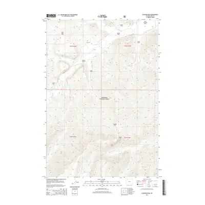
2015 Map of Elkhorn Peak
USGS Topo · Published 2015About this map
Shoshone National Forest dominates this section of the Absaroka Range, defined by high-elevation ridges and deep glacial valleys. The drainage system is anchored by the winding Sunlight Creek and its many tributaries, including Little Sunlight Cr and Dead Indian Cr. This landscape is primarily managed for conservation and recreation, with Sunlight Rd providing the primary access point into the heart of the Sunlight Basin. Local nomenclature reflects the land's topographical diversity through several named gulches and ridges, such as Painter Gulch, Huff Gulch, and Little Bald Ridge. At the center of the sheet, Elkhorn Peak stands as a prominent landmark, while Deweys Gateway serves as a notable pass or transition point between the drainages of the Absaroka Range. The map documents the intricate network of canyons and high peaks that characterize this corner of the Wyoming wilderness.
Find a feature on this map
24 named features on this map. Tap any name to fly to it.
Don’t see what you’re looking for? This feature index may not catch every label — zoom into the map to look around manually.
Map Details
Editions of this 2015 Elkhorn Peak Map
This is the sole edition of this map. No revisions or reprints were ever made.
Other maps of this area
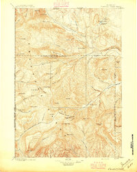
1896 · Crandall Creek
USGS Topo · 1:125,000
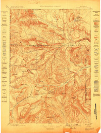
1899 · Crandall
USGS Topo · 1:125,000
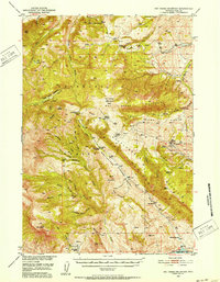
1949 · Pat O'Hara Mountain
USGS Topo · 1:62,500
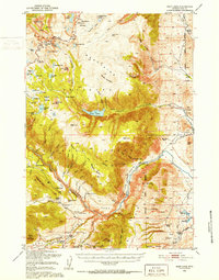
1950 · Deep Lake
USGS Topo · 1:62,500

1955 · Cody
USGS Topo · 1:250,000
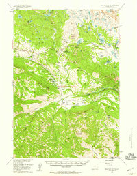
1956 · Beartooth Butte
USGS Topo · 1:62,500
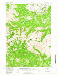
1956 · Dead Indian Peak
USGS Topo · 1:62,500

1958 · Cody
USGS Topo · 1:250,000

1962 · Cody
USGS Topo · 1:250,000
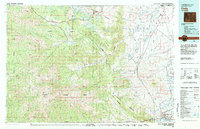
1980 · Cody
USGS Topo · 1:100,000