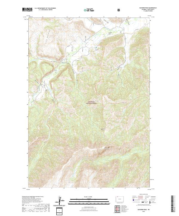
2021 Map of Elkhorn Peak
USGS Topo · Published 2021About this map
Elkhorn Peak and the surrounding Absaroka Range dominate this portion of the Shoshone National Forest, where the landscape is defined by deep drainages and high ridges. The map shows a transition from the lower elevations of Sunlight Basin to the prominent heights of Little Bald Ridge. This area serves as a significant hydrological catchment, with waters flowing through Sunlight Creek and its many tributaries, including Little Sunlight Cr and Little Sulphur Cr.
Find a feature on this map
25 named features on this map. Tap any name to fly to it.
Don’t see what you’re looking for? This feature index may not catch every label — zoom into the map to look around manually.
Map Details
Editions of this 2021 Elkhorn Peak Map
This is the sole edition of this map. No revisions or reprints were ever made.
Other maps of this area

1896 · Crandall Creek
USGS Topo · 1:125,000

1899 · Crandall
USGS Topo · 1:125,000

1949 · Pat O'Hara Mountain
USGS Topo · 1:62,500

1950 · Deep Lake
USGS Topo · 1:62,500

1955 · Cody
USGS Topo · 1:250,000

1956 · Beartooth Butte
USGS Topo · 1:62,500

1956 · Dead Indian Peak
USGS Topo · 1:62,500

1958 · Cody
USGS Topo · 1:250,000

1962 · Cody
USGS Topo · 1:250,000

1980 · Cody
USGS Topo · 1:100,000