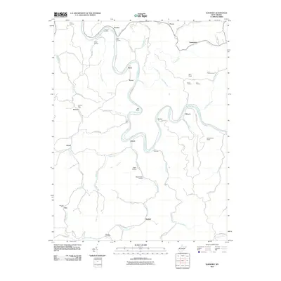
2011 Map of Elkhurst
USGS Topo · Published 2011About this map
The Elk River winds through this Clay County landscape, creating dramatic bends such as Jack Bend and providing a geographic corridor for settlements like Elkhurst and Dorfee. This 2011 survey documents a community defined by its topography and postal service hubs, including the Procious Post Office, Bomont Post Office, and Glen Post Office. The map is particularly useful for genealogists, as it identifies several family-named burial sites including Pierson Cemetery, Davis Cemetery, and White Cemetery.
Find a feature on this map
77 named features on this map. Tap any name to fly to it.
Don’t see what you’re looking for? This feature index may not catch every label — zoom into the map to look around manually.
Map Details
Editions of this 2011 Elkhurst Map
This is the sole edition of this map. No revisions or reprints were ever made.
Other maps of this area

1897 · Kanawha Falls
USGS Topo · 1:125,000

1900 · Kanawha Falls
USGS Topo · 1:125,000

1901 · Kanawha Falls
USGS Topo · 1:125,000

1906 · Otter
USGS Topo · 1:62,500

1906 · Walton
USGS Topo · 1:62,500

1907 · Otter
USGS Topo · 1:62,500

1907 · Walton
USGS Topo · 1:62,500

1907 · Clendenin
USGS Topo · 1:62,500

1908 · Clay
USGS Topo · 1:48,000

1909 · Clendenin
USGS Topo · 1:62,500