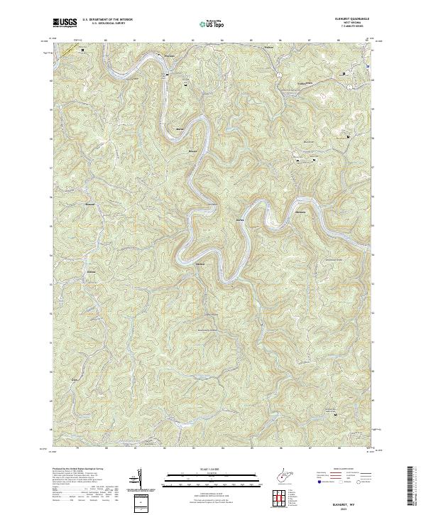
2023 Map of Elkhurst
USGS Topo · Published 2023About this map
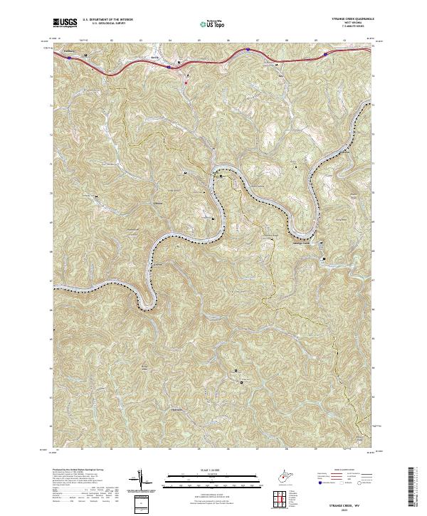
The Elk River winds in a tight, serpentine course through this portion of Clay County, creating distinctive landforms like the sharp oxbow at Jack Bend. This landscape is defined by its narrow valleys and high ridges, where small settlements such as Dorfee and Elkhurst are tucked into the river's bends. The area's genealogical history is well-preserved through numerous family burial sites situated on the higher ground above the floodplains, including Pierson Cem, Davis Cem, and the Arbogast and Hedrick Cem.
Find a feature on this map
99 named features on this map. Tap any name to fly to it.
Don’t see what you’re looking for? This feature index may not catch every label — zoom into the map to look around manually.
Map Details
Editions of this 2023 Elkhurst Map
This is the sole edition of this map. No revisions or reprints were ever made.
Historical Maps of Varneytown Through Time
11 maps found
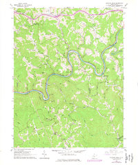
1965 Strange Creek
Clay County, WV
1966 Ivydale
Clay County, WV

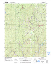
1967 Bentree
Clay County, WV
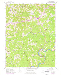
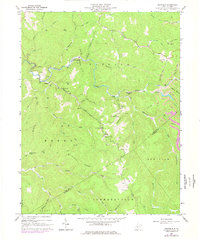
1967 Elkhurst
Clay County, WV
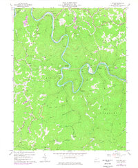
1967 Swandale
Clay County, WV
1996 Bentree
Clay County, WV
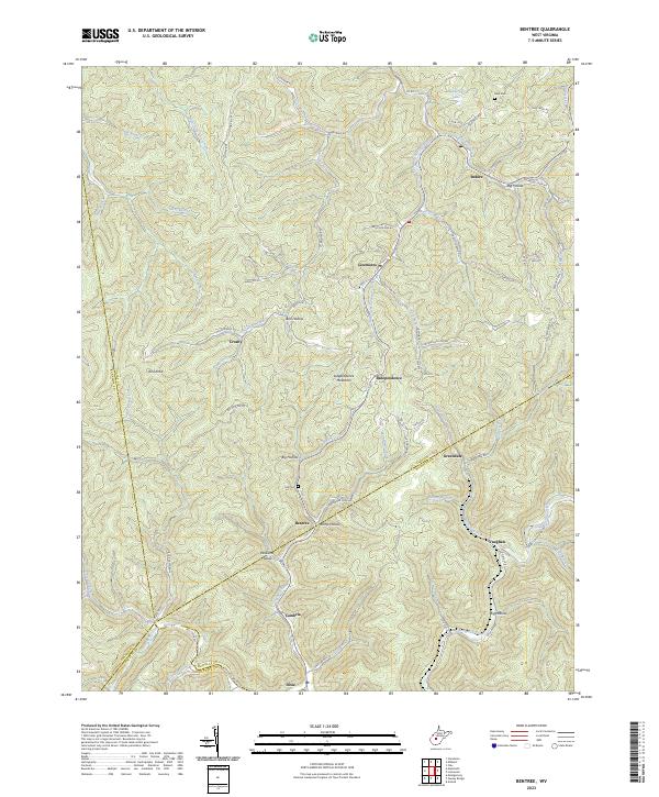
2023 Bentree
Clay County, WV
2023 Elkhurst
Clay County, WV
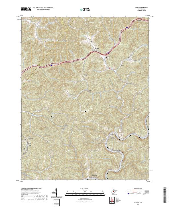
2023 Ivydale
Clay County, WV
2023 Strange Creek
Clay County, WV
2023 Swandale
Clay County, WV