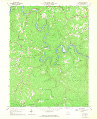
1967 Map of Elkhurst
USGS Topo · Published 1968About this map
The Elk River winds through the heart of this central West Virginia landscape, creating dramatic meanders like Jack Bend as it flows between the borders of Kanawha and Clay counties. During the late 1960s, the region was defined by a mix of river-bottom settlements and a robust extractive economy, evidenced by the numerous Gas Wells and Oil Wells peppered across the hillsides. Small communities such as Elkhurst, Procious, and Dorfee cling to the riverbanks and narrow valley floors, while the Baltimore and Ohio railroad follows the water's edge, serving as a primary transit artery for the area's resources.
Find a feature on this map
64 named features on this map. Tap any name to fly to it.
Don’t see what you’re looking for? This feature index may not catch every label — zoom into the map to look around manually.
Map Details
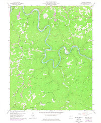
Editions of this 1967 Elkhurst Map
2 editions found
Other maps of this area

1897 · Kanawha Falls
USGS Topo · 1:125,000

1900 · Kanawha Falls
USGS Topo · 1:125,000

1901 · Kanawha Falls
USGS Topo · 1:125,000

1906 · Otter
USGS Topo · 1:62,500

1906 · Walton
USGS Topo · 1:62,500

1907 · Otter
USGS Topo · 1:62,500

1907 · Walton
USGS Topo · 1:62,500

1907 · Clendenin
USGS Topo · 1:62,500

1908 · Clay
USGS Topo · 1:48,000

1909 · Clendenin
USGS Topo · 1:62,500