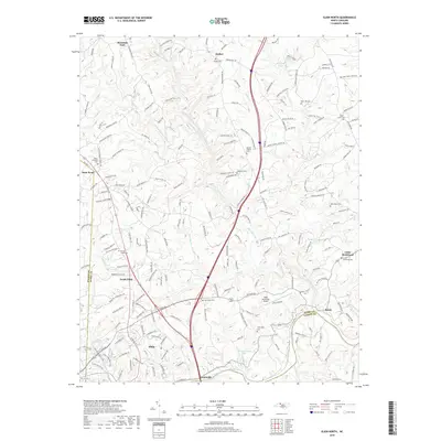
2019 Map of Elkin North
USGS Topo · Published 2019About this map
The confluence of Elkin Creek and the Yadkin River defines the southern boundary of this Piedmont landscape, where the towns of Elkin and Jonesville sit on opposite banks. In this modern survey, the rugged topography between the Mitchell River and Snow Creek is revealed through dense contour mapping, showing the dispersed settlement patterns characteristic of the region. The northern section is punctuated by the community of Zephyr and several rural burial grounds that speak to the area's genealogical history, including Bessies Chapel Cem and Snow Hill Cem.
Find a feature on this map
205 named features on this map. Tap any name to fly to it.
Don’t see what you’re looking for? This feature index may not catch every label — zoom into the map to look around manually.
Map Details
Editions of this 2019 Elkin North Map
This is the sole edition of this map. No revisions or reprints were ever made.
Other maps of this area

1891 · Yadkinville
USGS Topo · 1:125,000

1893 · Yadkinville
USGS Topo · 1:125,000

1953 · Winston-Salem
USGS Topo · 1:250,000

1955 · Winston-Salem
USGS Topo · 1:250,000

1962 · Winston-Salem
USGS Topo · 1:250,000

1966 · Yadkinville
USGS Topo · 1:24,000

1970 · Copeland
USGS Topo · 1:24,000
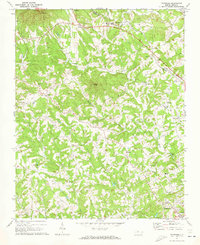
1971 · Thurmond
USGS Topo · 1:24,000
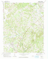
1971 · Dobson
USGS Topo · 1:24,000
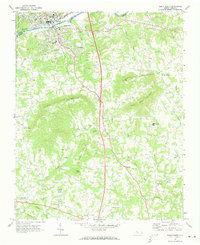
1971 · Elkin South
USGS Topo · 1:24,000